23 August 2013
Fairbanks to Coldfoot then to Prudhoe Bay. This 414 miles or 667 km is a mixed paved and gravel secondary roadway. The first segment from fairbanks to Coldfoot ( 175miles or 282 km) is mostly paved. Mile 115 at Arctic Circle there is no service next 240 miles or 387 km. So if you dont have range, carry extra jerry can. I did.
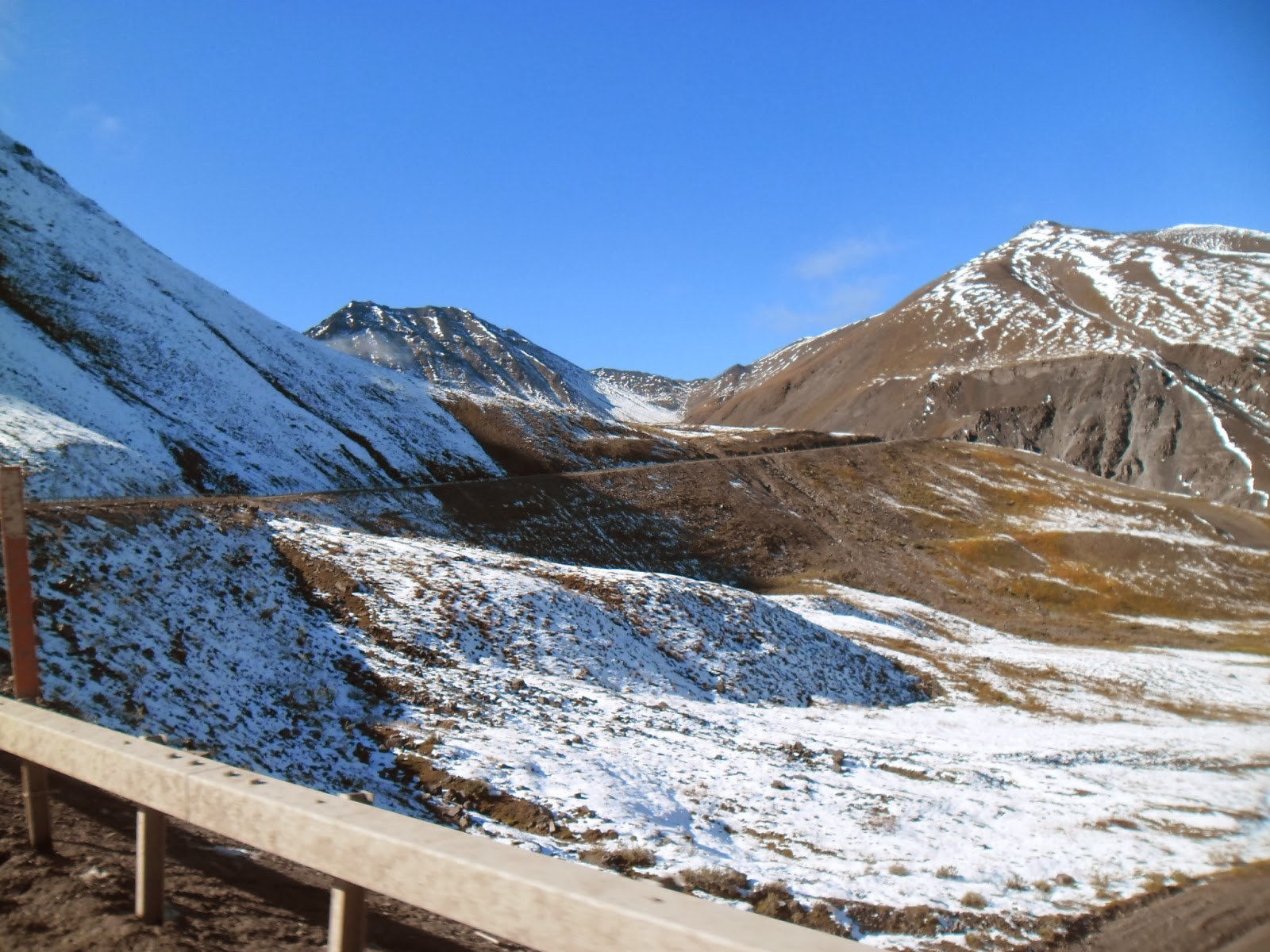
After Coldfoot, climb the Atigun pass which is 10% slope, mud laced, heavy fog, corrosive goo. After descent, you see a stunning valley of the Tundra of the Arctic plain. If you are lucky, you will catch the Arctic wind. Cold, dry and freezing. Welcome to Alaska!
 |
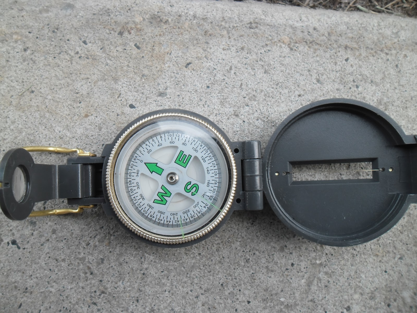
| Magnetic compass becomes unreliable |
 |
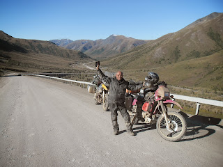
| Ofir and me team up to Prudhoe Bay |
 |
| Ready for Prudhoe Bay |
 |
| Typical Dalton highway |
 |
| Wet, cold, muddy and slippery |
 |
| Typical weather in August at Dalton Hwy |
 |
| Alaksa pipeline along Dalton Highway |
 |
| Quick pic at Arctic Circle |
 |
| Coldfoot Camp - Overnight b4 to Prudhoe Bay |
 |
| Fuel here at Coldfoot |
 |
| Coldfoot |
 |
| US Post at Coldfoot |
 |
| Mud covered |
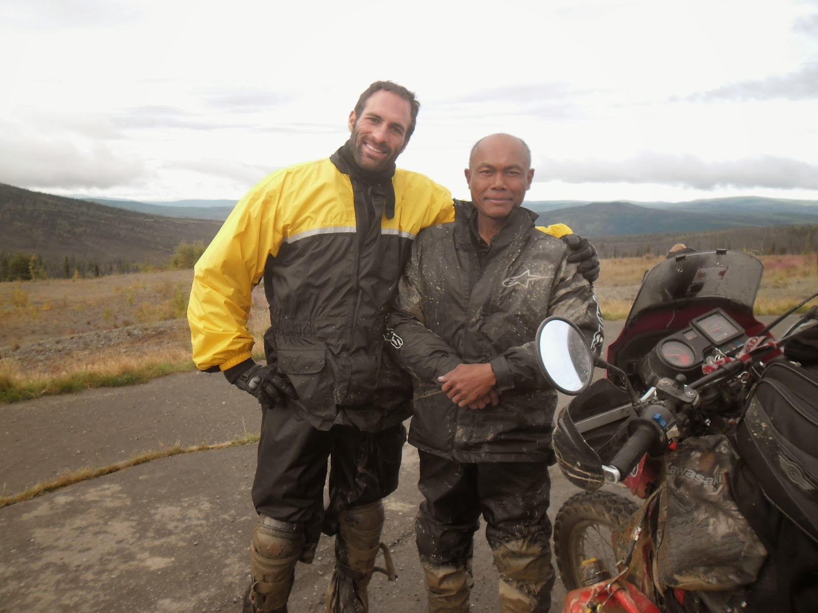
After a night pitstop at Coldfoot, I continued North towards Prudhoe Bay. It is a bulldoze trip as I did not make any accommodation reservation at Prudhoe Bay ( I am ready to camp there) and asking about the Atigun Pass was heavy with snow few days before but passable for four wheels. The ride continues.
 |
| Approaching the Atigun Pass |
 |
| Closer to Atigun Pass |
 |
| Atigun Pass |
 |
| Typical Atigun Pass |
 |
| Brooks Range Alaska |
 |
| Approaching Prudhoe Bay |
 |
| I made it to Prudhoe Bay! |
 |
| Lucky me! US199 per nite hotel |
Mission accomplished! I touch base base the water connected to the Artic Ocean. What a feeling. And the journey continues.


No comments:
Post a Comment